


SKIPPER SATLOG SL1300 – In development, coming soon
Part Number: SL-1300-SA
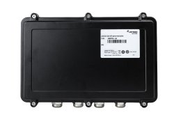
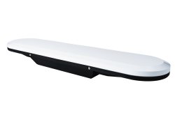
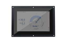
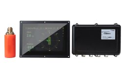
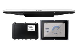
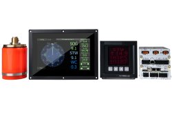
Coming soon, the SKIPPER SATLOG SL1300 is an advanced three axis speed log designed to provide longitudinal and fore/aft transversal ship speed over ground (SOG). The SKIPPER SATLOG SL1300 provides accurate navigation parameters measured as they happen, and presented through an intuitive and user-friendly interface.
Features
- IMO Wheelmarked with MED-B
- Speed over ground (SOG) in three axis (Docking mode)
- NMEA 0183 output
- GPS and Glonas speed (SOG)
- CCS available on request
| Speed log: | SL1300 |
|---|---|
| Number of axis: | 3 |
| Speed range longitudinal: | +/- 99.9 knots
|
| Speed range transversal: | +/- 99.9 knots
|
| Aft transversal speed | yes |
| Speed over ground from: | 0 meter |
| Temperature accuracy error: | N/A |
| Power supply: |
|
| Power consumption: |
|
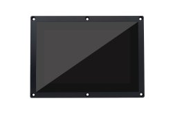
| Display: | Multi - Panel 10.1" touch display, resolution 1280x800 |
| Mounting dimensions display: |
|
| IP rating: |
|
| Accuracy: | <0.2 knots or 2% whatever is greater |
Weight: |
|
| Standard cable length: | Not included for the antenna. Needed cable is 4 TSP (Twisted, shielded pairs) minimum 0.5 mm2. Max length 100 m. |
| Mounting options: |
|
| Speed alarms: |
|
| Outputs/Inputs |
|
| NMEA outputs: |
Note: This system is a speed log and cannot be used as primary source of other types of information. Position, course over ground and heading is only to be used as secondary sources |
| Classification: | IMO Wheelmarked |
Service: | Available in most major harbours, world-wide through extensive dealer network |



We are here for you
We strive to always answer your questions and meet your needs. Fill out the contact form, and we will get in touch with you.